History
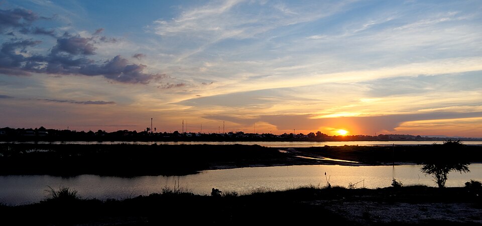
The public riverfront walk looks across the Mekong toward Thailand and is popular around sunset, especially near the Chao Anouvong Park section.
Public landmark · Vientiane
Discover Vientiane Mekong Riverside Promenade in its own Vientiane setting. Find it at Fa Ngum Road riverfront, Vientiane, Laos; the specific map pin and visiting conditions matter more than proximity on a city-wide attractions list.
Discover this place
Vientiane Mekong Riverside Promenade is a distinct public landmark, not a facility inside Chao Anouvong Park. Understand its role in Vientiane’s built and cultural landscape. Consult the site's own visitor notices.
Plan a daytime visit where access is offered, keep drinking water handy, and follow posted visitor restrictions.
This is a distinct place with its own operating or public-space authority. Check notices at the site for the responsible unit; it is not administered as a feature of Chao Anouvong Park.
Confirm the current opening schedule with the venue; outdoor public areas may have different access rules.
Check any current admission at the entrance; no unverified fee is quoted.
From central Vientiane, walk if convenient or show the exact map pin to a tuk-tuk/taxi driver. Combine nearby stops on foot, use safe crossings and allow for heat.
Fa Ngum Road riverfront, Vientiane, Laos · Google Maps ↗The public riverfront walk looks across the Mekong toward Thailand and is popular around sunset, especially near the Chao Anouvong Park section.
The broad river prospect, seasonal sandbars and views toward Thailand define this promenade. Combine railings, bank and sunset sky to show depth.
The Mekong is both a civic leisure landscape and a changing international river. Low-water banks are not automatically safe public paths.
For convenient sightseeing, compare guesthouses and hotels in central Vientiane near Setthathirath Road or Fa Ngum Road. Check actual walking distance, noise, access and recent guest reviews before booking.
Read the latest first-hand visitor reviews on the attraction’s own map listing. Ratings and review counts are not shared across nearby places.
Google Maps ↗Use the dedicated Google Maps search link and confirm the exact entrance.
Plan around 20–60 minutes, adjusting for the actual scale and access.
Fa Ngum Road riverfront, Vientiane, Laos